Our team has been staying at the Dredge No. 7 Inn just
outside Nome. It is a great place where we can rest, plan our daily field
trips, rent vehicles, and have easy access to the area. We had planned to
depart at 8:00am sharp, but first Larry and I had an early morning meeting with
representatives from the Bering Straits Native Corporation. We have made it a
practice to touch base each time we are in Nome with local, state, and native
corporations in hopes that they can stay informed as to our plans. This visit
was no exception. Today we met with Matt and Kevin and explained the goals and
objectives of the NGEE Arctic project and what we were hoping to accomplish in
the next few days, and coming years. They were quite supportive of our work on
the Seward Peninsula and made several useful suggestions regarding future logistical
needs of our project. Very help…


We gathered everyone up at the Dredge just before 9:00am and
started our drive out the Kougarok Road. This 80 mile long road goes north from
Nome along old mining areas that were quite active in the early 1900s and then
into a broad valley flanked by mountains and then finally open tundra out near
the end of the road near the Kougarok River. A colleague had provided us with digital
maps that everyone downloaded onto their cellphones. It was quite helpful to
refer to these maps of vegetation, geology, and topography throughout the day.
Of course, we also brought paper maps that were passed around our four vehicles
and/or regularly laid across the hood of one of our vehicles. Nothing draws a
bunch of scientists together like maps.


Our team stopped at several candidate sites throughout the
day. Last year Rich and I helped other scientists from ORNL and UAF conduct a
series of studies across recent drained thaw lake basins (DTLBs) in the area.
We revisited a few of those sites thinking that they might be useful for future
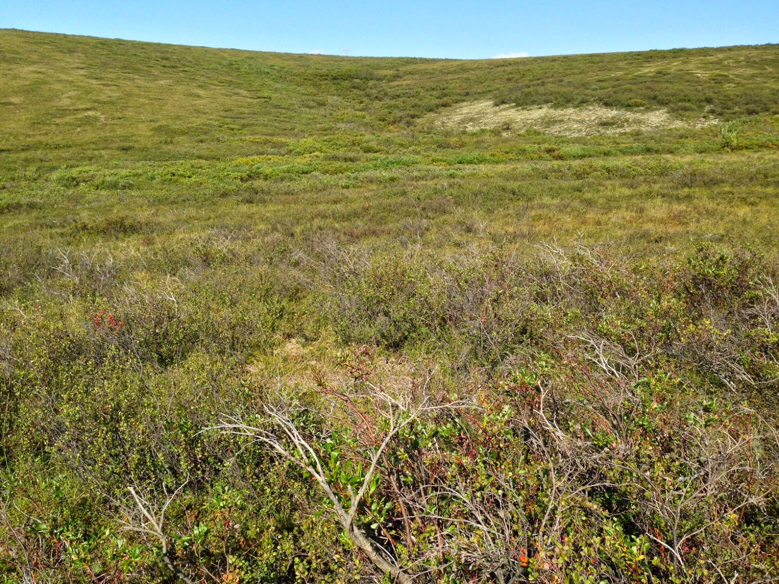
investigations. We also spent considerable time exploring a catchment or watershed
that dropped off the road to the west. We walked from the top of the west
facing slope to the bottom and then up the east facing slope taking
measurements of thaw depth, temperature, and soil moisture. There was
definitely a gradient in temperature and soil moisture as we went down and back
up the catchment and thaw depth seemed to vary as well. However, despite being
fairly steep slopes we noticed that soils were saturated and that depressions
were filled with standing water. Why wasn’t water draining downslope as
expected? We also noticed that thaw depth varied in ways that were somewhat
counterintuitive with slope, aspect, temperature, and soil moisture. So, this
was a very interesting area that we will definitely keep on our list of
potential research sites for the future.


It has been a long day and we begin again in the morning
with a drive out Council Road…